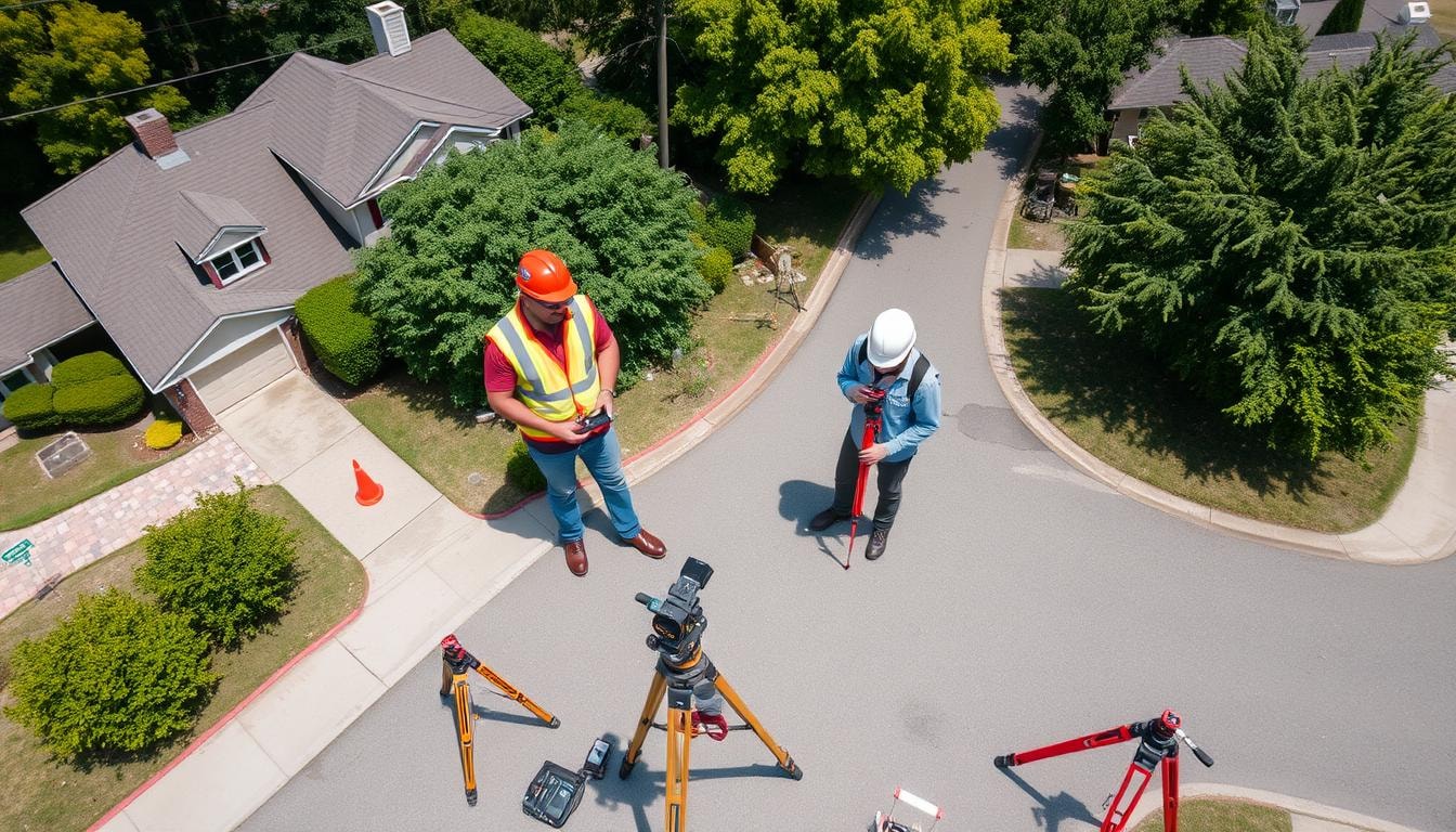
Flood Elevation Certificate Surveyors Near You
Can’t find what you are looking for?
How It Works
-
 Answer a few questions about your home project.
 -
 Within seconds, get matched with top-rated local pros.
 -
 Compare quotes and choose the best pro for the job.
Flood Elevation Certificate Surveyors In Your Area
Flood Elevation Certificate Surveyors: What You Need to Know
Homeowners in flood-prone areas often seek flood insurance to protect their properties. The National Flood Insurance Program (NFIP) offers insurance against flooding losses in participating communities.
A flood elevation certificate is vital for determining flood insurance rates. Understanding this certificate and the surveyors’ role can help safeguard your home and finances.
Key Takeaways
- Flood elevation certificates provide crucial information to insurers, including property location, flood zone, and lowest floor elevation.
- Properties in federally mandated Special Flood Hazard Areas may be required to purchase flood insurance through the NFIP.
- Homes above the Base Flood Elevation (BFE) typically have lower insurance rates, while those below the BFE face higher premiums.
- Elevation certificates undergo rigorous quality control, with surveyors capturing measurements to 1/10th of a foot.
- Professional surveyors with extensive FEMA experience can provide efficient and cost-effective elevation certificate services.
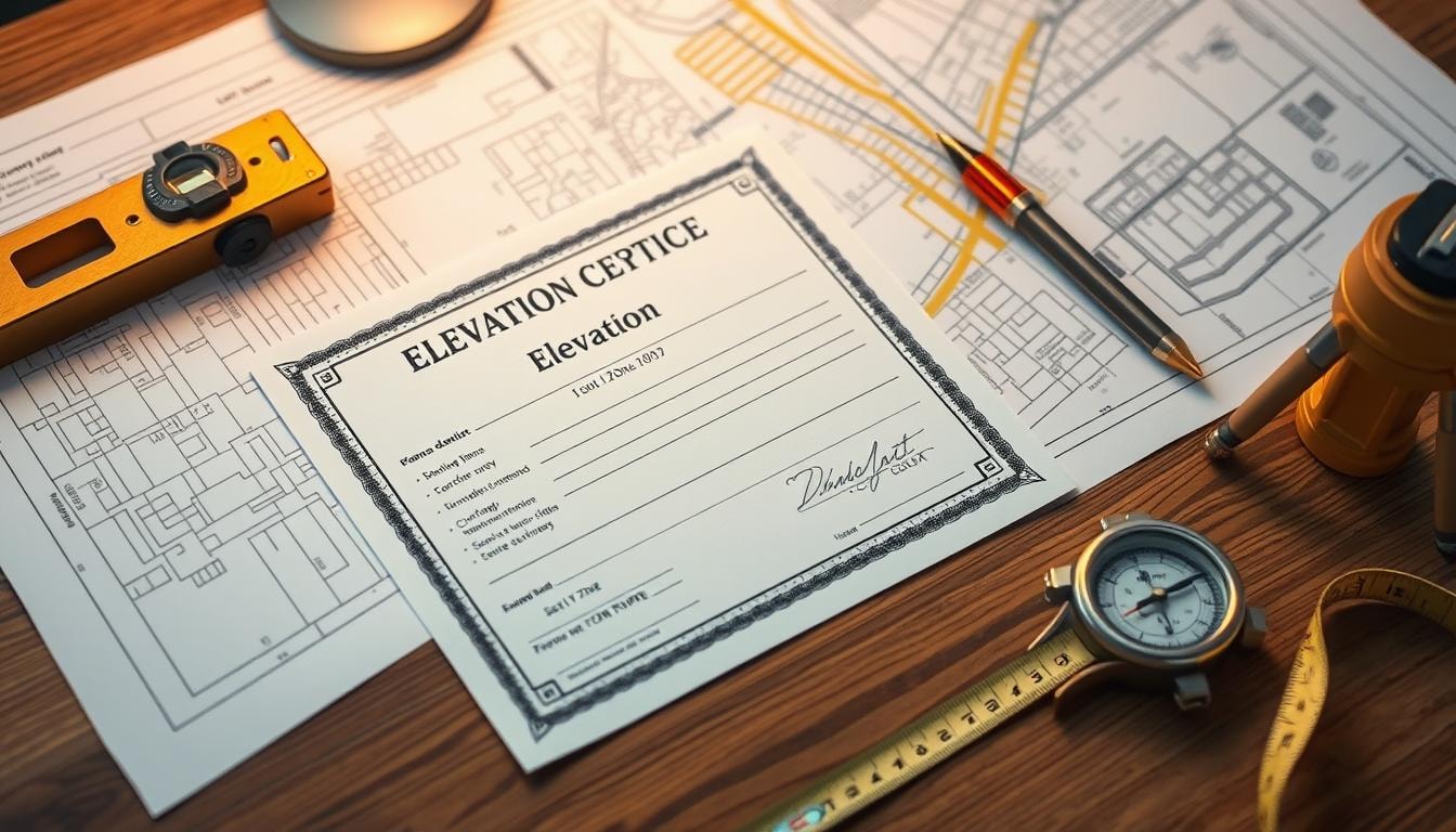
What is a Flood Elevation Certificate?
A Flood Elevation Certificate (EC) provides key details about a property’s flood risk. It includes information on location, flood zone, and building features. The EC helps determine appropriate flood insurance rates for properties.
This document shows how high a building sits compared to potential flood levels. It’s vital for assessing flood risk and following floodplain rules. The EC can also help with requests for map changes from FEMA.
FEMA’s National Flood Insurance Program uses ECs to evaluate a building’s flood risk. They look at the First Floor Height and nearby elevations. Providing an EC with detailed info can lead to lower insurance costs.
Communities that exceed flood management standards may get discounts through the Community Rating System. This can result in lower premiums for policyholders. Some areas require ECs before and after construction.
Raising buildings, adding flood openings, and elevating utilities can reduce flood damage. These steps can also lower flood insurance rates. Property owners can check flood maps on FEMA’s website.
Why Are Flood Elevation Certificates Important?
Flood elevation certificates are key in managing flood risk and setting flood insurance rates. They show how high a property sits compared to the Base Flood Elevation (BFE).
These certificates help figure out flood insurance costs. They compare a building’s height to the BFE. This lets insurers set fair insurance premiums based on flood risk.
Higher floors above the BFE mean less flood damage risk. This often leads to lower insurance premiums for property owners.
These certificates also ensure buildings follow community floodplain management rules. This helps reduce property damage from floods in high-risk areas.
The data is needed for some FEMA map amendments. These changes can move homes out of high-risk flood zones. This may result in cheaper insurance costs.
Flood elevation certificates protect homeowners and communities. They’re vital for assessing risk, setting insurance rates, and following regulations. These tools help safeguard investments from devastating flood damage.
Who Needs a Flood Elevation Certificate?
Flood Elevation Certificates are crucial for properties in high-risk flood zones. These areas, called Special Flood Hazard Areas (SFHAs), are designated by FEMA. They have a one in four chance of flooding during a 30-year mortgage.
Homeowners in these zones often must buy flood insurance. The certificate helps determine the right insurance rate. It’s usually needed for National Flood Insurance Program (NFIP) coverage or federal financial aid.
Private insurers may not always require this certificate. However, it can help dispute or lower mandatory premiums in designated flood zones.
Properties in High-Risk Flood Zones
Flood Elevation Certificates are vital for properties in Special Flood Hazard Areas (SFHAs). These zones have a 1% or higher yearly flood risk. They need special flood insurance and must follow community floodplain rules.
NFIP policies in high-risk zones need a Flood Elevation Certificate. Private insurers typically don’t require them, regardless of the flood zone.
Certificates aren’t usually needed in moderate to low-risk areas. These include Zones B, C, X, and undetermined risk areas (Zone D).
- NFIP policies cannot be written without a Flood Elevation Certificate for the house or building in high-risk flood zones.
- Private insurers typically do not require Flood Elevation Certificates regardless of the flood zone.
- Flood Elevation Certificates are generally not required or used for flood zone rating in moderate- to low-risk areas (Zones B, C, and X), undetermined risk areas (Zone D), or certain high-risk areas eligible for other subsidies (e.g., Zones AR and A99).
When Do You Need an Elevation Certificate?
Flood elevation certificates are vital for property owners in high-risk flood zones. They determine flood insurance rates and ensure building code compliance. Let’s look at when you might need one.
- Purchasing Property in a High-Risk Flood Zone: Buying in a Special Flood Hazard Area? You’ll likely need an elevation certificate for flood insurance. This applies to both National Flood Insurance Program and private insurer policies.
- Applying for Flood Insurance: High-risk flood zones require valid elevation certificates for insurance policies. These documents provide crucial data about property elevation relative to Base Flood Elevation.
- Determining Flood Insurance Rates: In Zones A or V, elevation certificate info helps calculate risk-based premiums. This ensures fair and accurate insurance rates for your property.
- Qualifying for Flood Zone Changes: Seeking a Letter of Map Amendment? An elevation certificate is often needed. It can help remove your property from a high-risk zone.
Elevation certificates help assess and manage flood risk. They guide property owners in making smart decisions about insurance and building codes.
These documents protect investments and reduce potential financial impacts from flooding. Understanding their importance helps you take necessary steps to safeguard your property.
Obtaining a Flood Elevation Certificate
A flood elevation certificate is vital for understanding your property’s flood risk. It ensures compliance with National Flood Insurance Program (NFIP) requirements. Several reliable sources can provide this important document.
Sources for Elevation Certificates
The main sources for obtaining a flood elevation certificate include:
- Licensed Land Surveyors: They can measure and calculate to create a detailed flood elevation certificate.
- Professional Engineers: These certified experts provide accurate and reliable flood elevation certificates.
- Certified Architects: Some architects offer this service for new construction or major renovations.
Choose reputable and experienced professionals. They’re known for quick responses, quality work, and fair pricing. Typically, an elevation certificate takes about five business days to complete.
An elevation certificate helps determine flood insurance costs. It also provides crucial information about the property’s flood risk. This data is valuable for developers, builders, floodplain managers, and potential homebuyers.
An accurate, up-to-date elevation certificate helps you make informed decisions. It also ensures you comply with NFIP requirements.
Importance of Accurate Elevation Data
Accurate flood elevation certificate data is vital for assessing a property’s flood risk. It helps determine the right flood insurance premium. The elevation certificate (EC) documents building details used to evaluate floodplain management compliance.
The EC compares the building’s elevation to the Base Flood Elevation (BFE). Higher elevations may lead to lower flood insurance rates. Lower elevations might result in higher premiums due to increased flood damage risk.
Accurate elevation data is crucial for informed decisions about flood risk mitigation. Inaccurate data can lead to incorrect assessments and insurance calculations. This can put property owners at financial risk during floods.
Professional surveyors collect elevation data that meets Federal Emergency Management Agency (FEMA) standards. Crow and Associates ensures accurate flood elevation certificates. Their work reflects true building characteristics and flood risk.
Elevation data accuracy is key for floodplain management and insurance premiums. It also ensures regulatory compliance. Up-to-date certificates help property owners make smart decisions about flood risk.
Resources for Flood Elevation Certificates
Living in a high-risk flood zone? Flood elevation certificates are crucial. They impact your flood insurance rates in the National Flood Insurance Program (NFIP).
Your local floodplain manager is a key resource. They can help you get an elevation certificate. State floodplain offices can also provide guidance.
When buying property, ask the seller for the elevation certificate. Many properties already have one on file. Developers in high-risk areas often obtain these during construction.
- Licensed land surveyors, professional engineers, or certified architects can certify elevation information for a fee.
- Building code requirements may change over time, necessitating a new elevation certificate during remodeling or rebuilding.
- Elevating a property to lower flood risks can also reduce flood insurance rates.
The Federal Emergency Management Agency (FEMA) offers helpful resources. These include:
- The NFIP’s Flood Map Service Center, which allows you to find flood insurance providers and information about your property’s flood risk.
- The FEMA Homeowners Guide to Retrofitting and Mitigation Best Practices, which offers ways to lower your flood insurance costs.
- Brochures such as “Map Changes and Flood Insurance: What Property Owners Need to Know,” “Map Updates and Flood Insurance: What Insurance Agents Need to Know,” and “An Agent’s Guide to Selling Flood Insurance.”
High-risk flood zones often require elevation certificates. Understanding these resources can help you navigate the process. You might even lower your flood insurance premiums.
Finding the Right Surveyor with FindPros
Navigating the process of obtaining a flood elevation certificate can be daunting, especially for properties in high-risk flood areas. That’s where FindPros can help. Our network of professional land surveyors, experienced in working with insurance companies, can ensure you get the accurate and up-to-date certificate you need. Simply answer a few questions about your project, and we’ll match you with top-rated local licensed surveyors who can provide efficient and cost-effective services. Compare quotes and choose the best pro for the job, so you can have peace of mind and protect your investment.
Conclusion
Flood Elevation Certificates are vital for property owners in high-risk flood zones. They provide key details about a property’s flood risk and building features. This data helps determine flood insurance rates and ensures compliance with floodplain management rules.
Getting an accurate certificate is crucial for property owners in high-risk areas. It can greatly affect flood insurance costs and overall flood risk. Understanding these certificates helps owners protect their investments and boost property resilience.
These documents are more than just a rule to follow. They’re a valuable tool for assessing and managing flood risk. By using them, people and businesses can better protect their property.
Having a valid certificate is smart when buying, refinancing, or renovating a home. It can lead to lower insurance costs and higher property values. Most importantly, it gives owners peace of mind about their flood preparedness.
Frequently Asked Questions (Flood Elevation Certificate Surveyors)


MOST POPULAR CITIES
Browse by State- Alameda
- Costa Mesa
- Laguna Beach
- Orange
- Alhambra
- Culver City
- Lancaster
- Oroville
- Anaheim
- Daly City
- Livermore
- Oxnard
- Antioch
- Davis
- Lodi
- Pacific Grove
- Arcadia
- Downey
- Lompoc
- Palm Springs
- Bakersfield
- El Centro
- Long Beach
- Palmdale
- Barstow
- El Cerrito
- Los Angeles
- Palo Alto
- Belmont
- El Monte
- Malibu
- Pasadena
- Berkeley
- Escondido
- Martinez
- Petaluma
- Beverly Hills
- Eureka
- Marysville
- Pomona
- Brea
- Fairfield
- Menlo Park
- Port Hueneme
- Buena Park
- Fontana
- Merced
- Rancho Cucamonga
- Burbank
- Fremont
- Modesto
- Red Bluff
- Calexico
- Fresno
- Monterey
- Redding
- Calistoga
- Fullerton
- Mountain View
- Redlands
- Carlsbad
- Garden Grove
- Napa
- Redondo Beach
- Carmel
- Glendale
- Needles
- Redwood City
- Chico
- Hayward
- Newport Beach
- Richmond
- Chula Vista
- Hollywood
- Norwalk
- Riverside
- Claremont
- Huntington Beach
- Novato
- Roseville
- Compton
- Indio
- Oakland
- Sacramento
- Concord
- Inglewood
- Oceanside
- Salinas
- Corona
- Irvine
- Ojai
- San Bernardino
- Coronado
- La Habra
- Ontario
- San Clemente